


Map Size:Width: 36"Height: 85"
Map Features:PatchMap™ detailed oilfield roads, with fully named county roadsLabeled Gas and Waste PlantsLabeled Township and Section GridDetailed streams and waterbodiesParks and Protected AreasFirst Nations Reserves, Metis SettlementsPrivate/Crown LandRelief Shade background
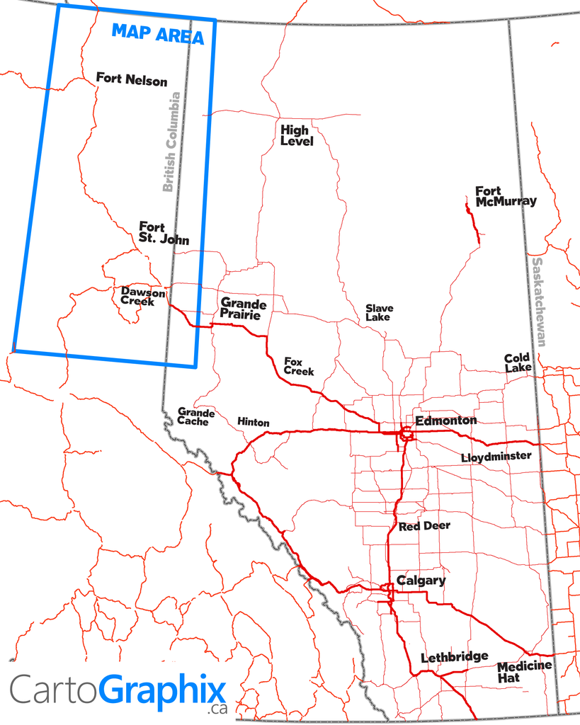
Map Extents: Entire BC oilpatchLeft: Western extent of BC oilpatch (124°W)Right: Grande Prairie, AB (Rge 9 W6)Bottom: South Ojay Road (54.5°N)Top: NWT Border (60°N)
| Printed on Super-High-quality, tear-proof polypropylene 'paper'. |
Like any of our maps, this map can be customized. Contact us for more info..