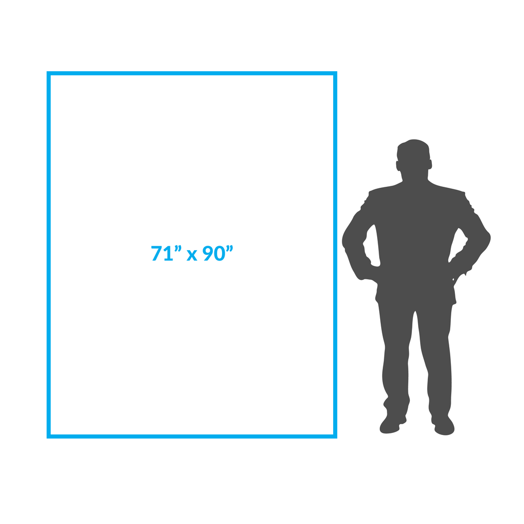


Map Size:Width: 71"Height: 90"This maps ships in two pieces
Map Features:PatchMap™ detailed oilfield roads, with fully named county roadsLabeled Gas and Waste PlantsCompressor StationsLabeled Township GridDetailed streams and waterbodiesParks and Protected AreasFirst Nations Reserves, Metis SettlementsRelief Shade background
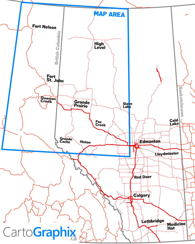
Map Extents:Left: Western extent of BC oilpatch4 (124°W)Right: East of Slave Lake (Rge 1 W5 / 114°W)Bottom: Hinton (Twp 47)Top: NWT Border (60°N)
|
Printed on Super-High-quality, tear-proof polypropylene 'paper'. |
Like any of our maps, this map can be customized. Contact us for more info..